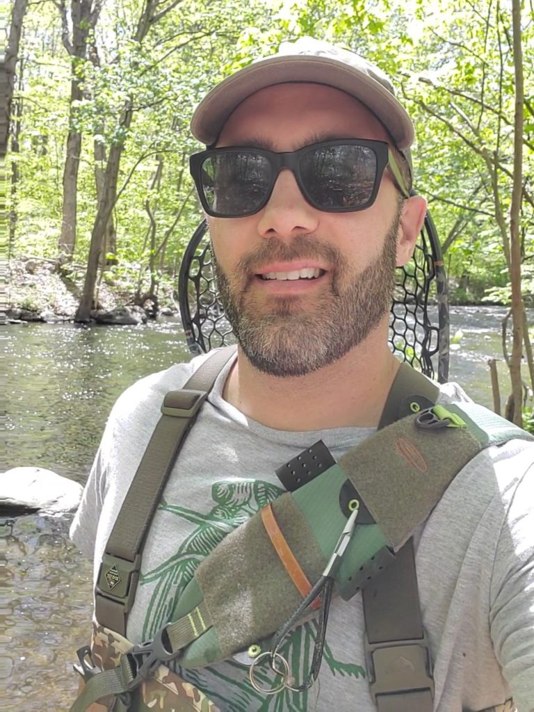
Local Naturalist and Member of Mount Olive Open space committee
By Marlaina Cockcroft

David Alexander wanted to make it easy for people to find and enjoy the nature trails in town, so he created an interactive map for anyone to use.
Alexander, secretary of the Open Space Advisory Board and senior naturalist at the Essex County Environmental Center, walks the trails regularly with his dog, “because they’re so beautiful and I enjoy them.” As he walked, he tracked the trails with a GPS, then layered them onto a Google interactive map. “Anybody can use the map and see exactly where they are on the trail,” he said.
Alexander will talk about the map, as well as what you can see on the trails, during a virtual presentation March 10 hosted by the Mount Olive Democrats.
All the trails, which are in and around Turkey Brook Park, Budd Lake, Allamuchy State Park and off Route 206, are displayed on the interactive map with the color blazes used on the actual trails. If you click on the entrances to the trails, you can see photos and descriptions of what the entrance looks like and what the trail is like. The idea is to “foster confidence in exploring the trails,” he said. The map can be viewed by phone, so you can check the map while you’re on the trail.
Alexander said his goal is to get people in town to have a greater appreciation for our natural resources. “If people recognize and value these natural spaces, then we take care of them and potentially even designate public space for these forms of recreation.” He said people think of parks as places for a soccer field or basketball court or playground, “but parks are also forested environments that are a habitat to wildlife, places for plants to filter our air and water, places for education and recreation. These natural forested spaces, they’re not just undeveloped lots, they have extreme value to the culture of our Mount Olive landscape.”
Over the past six or seven years Alexander has been in town, he’s also worked to improve the trails. He’s worked with Eagle Scouts from Budd Lake Troop 312 and Mount Olive Troop 249 to put up kiosks at seven trail entrances, with maps and info about the trails. Scouts have also built bog bridges in wetland areas. The next Scout project will be to make signs to post along the route with the trail name and mileage distance. The JROTC has done trail cleanup as well, he said.
Alexander said, “I often walk out in the woods without any trail at all, and I’m comfortable with that. But not everybody else is. Some folks just need a little more confidence.”
He said the trails are easy to access and well blazed, saying people sometimes bring their dogs or bikes or go birding. The trails are mostly single file, meaning you can exercise without getting too close to other people.
Mount Olive, in his opinion, is at the epicenter of recreation in the area, near Allamuchy State Park, Kittatinny State Park and Hacklebarney State Park. “We’re really surrounded by some quality outdoor opportunities.”
His presentation, which will include info on everything from where to find small brook trout to how deep Budd Lake is, is geared toward anyone with an interest in the trails but who hasn’t used them yet.
Sometimes, Alexander said, people think you have to travel to go on vacation, but you can see nature right in your own back yard.
The interactive map is at https://natureintoaction.com/2018/09/28/mount-olive-trails-interactive-map/. A printable version is at mtolive_turkeybrooktrail_012516.
LEARN MORE & ESCAPE OUTDOORS
Attend March 10 Zoom Presentation
